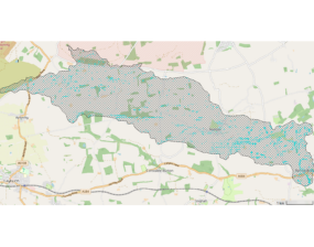
Ousewem's whole-system modelling reveals the scale of action needed to influence flood risk and water quality across the SUNO catchment, helping shape future planning, investment and delivery.
Read more
Rising waters | Rooted solutions
Ousewem's whole-system modelling reveals the scale of action needed to influence flood risk and water quality across the SUNO catchment, helping shape future planning, investment and delivery.
Read more
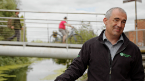
How can evidence, modelling and practical experience help inform future resilience decisions? Watch the latest Ousewem film.
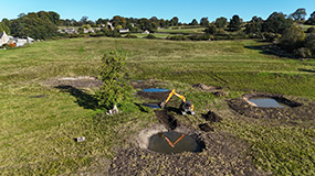
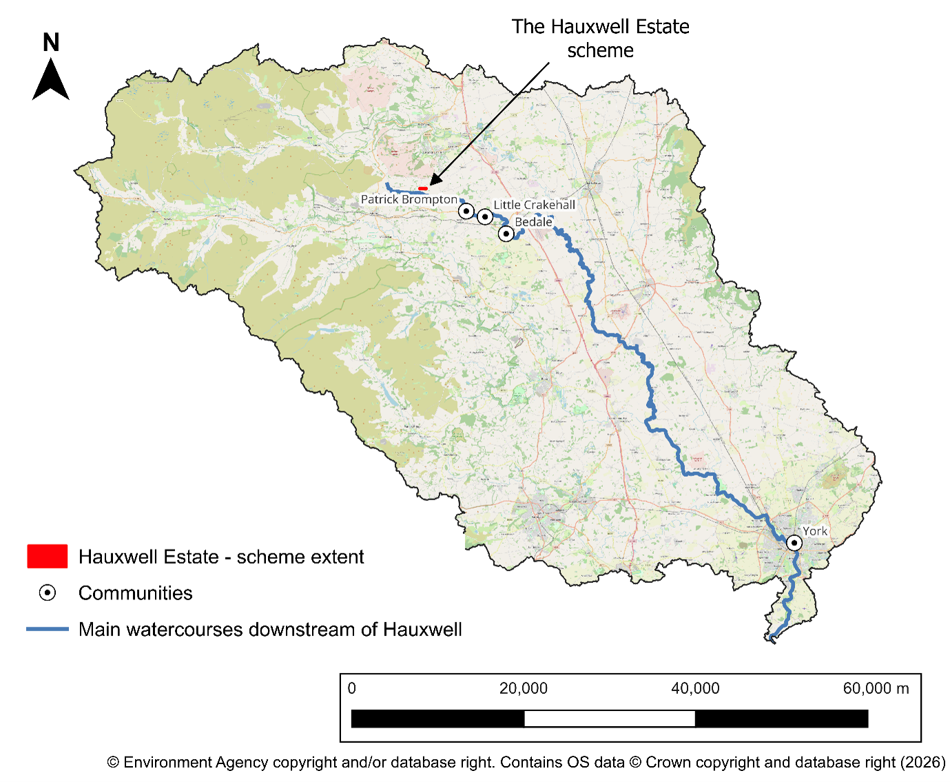
Hydraulic modelling at Hauxwell Estate shows how natural flood management can slow and store water locally, helping build confidence in the evidence needed for wider catchment-scale decisions.
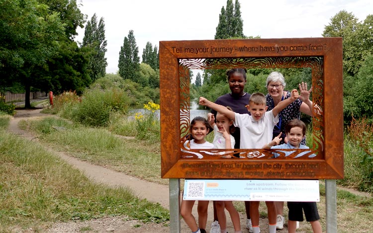
The York rivers trail: the rivers and us has launched this summer (2026), offering a new way to explore the River Ouse in York.
Explore how Ousewem uses evidence and modelling to identify where natural flood management can best support flood resilience.
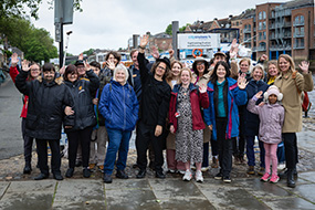
Community members and partners joined a River Ouse event to help shape the York rivers trail, exploring river stories, resilience and connections.
Nature-based solutions rely on shared decision-making, strong governance and evidence. Building trust, measuring outcomes and partnership working are key to delivering scalable, effective solutions.
Take a closer look at how our modelling works across different spatial scales, what each scale helps us understand, and how they fit together as part of a single, joined up evidence base.
Watch and read about the latest video in our film series "From upstream to downstream" explaining how flood risk and water quality are shaped across whole river catchments, and more.
How can modelling reduce flood risk in York? Explore Ousewem’s work across the SUNO catchment and how data is guiding natural flood management decisions.